
Chartplotters
Chartplotters help boaters plan routes, follow their position, and read marine maps on a dedicated display. They are commonly compared by screen size, ease of use, mapping support, and how well they fit a boat’s helm setup.
When you browse chartplotters, it also helps to check GPS options, network or accessory compatibility, and whether the interface suits quick navigation while underway. The right choice depends on the type of boating and how much chart detail you want at a glance.
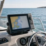
Showing 1–12 of 105 results
-
Chartplotters
010-12770-00 J1939 Adapter Cable for Yamaha Engine Bus and Garmin GPSMAP
$23.70 View on Amazon -
Chartplotters
010-12770-00 Yamaha Engine Bus to Garmin J1939 Adapter Cable, 3 ft
$24.70 View on Amazon

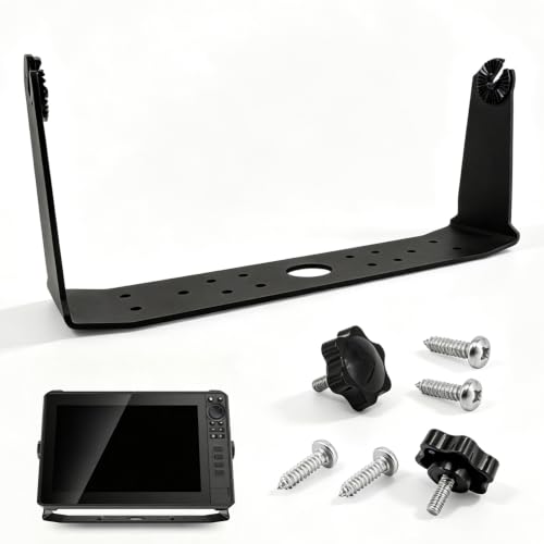


Chartplotters are built for navigation, combining map display with position tracking so you can follow a route and monitor your location on the water. They are used on a wide range of boats, from simple setups to more connected marine electronics systems.
What chartplotters help you do
A chartplotter can make it easier to visualize where you are, compare nearby channels or landmarks, and review a planned course. Many shoppers look for a display that is easy to read in changing light and simple to operate when conditions are busy. Touch controls, button layouts, and menu style can all affect how comfortable the unit feels in daily use.
Features to compare
When reviewing chartplotters, consider the screen size and how much detail you want visible at once. Some buyers prefer a compact unit for smaller helm spaces, while others want a larger display for easier map reading. It is also useful to check the mapping support, mounting style, and whether the device works with other onboard electronics you may already use.
Compatibility matters because marine systems can vary widely. Check the individual product details for supported charts, network connections, and any accessory requirements before choosing a model. If you want a unit that fits into a broader navigation setup, compare how it integrates with related marine electronics and how straightforward it is to expand later.
Choosing the right setup for your boat
The best chartplotter for one boat may not suit another. A simple setup may only need basic route display and location tracking, while a more advanced helm may benefit from extra screen space and broader integration. Look for clear product descriptions so you can compare display size, controls, and compatibility without assuming every unit offers the same features.
Chart coverage and route planning
Check that the chart coverage suits the waters where you expect to boat, and compare the available chart detail for your intended use. Find out how chart updates are handled and whether any chart purchases or subscriptions are separate from the unit. A displayed route is a navigation aid, not a substitute for current information, sound judgment, and attention to conditions on the water.
How chartplotters differ from related electronics
A chartplotter’s main purpose is map-based navigation. A marine GPS unit may focus more directly on position information, while boat depth finders and fish finders emphasize underwater readings or fish detection. Some marine electronics combine functions, so compare the specific capabilities and compatibility you need rather than relying on a category label alone.